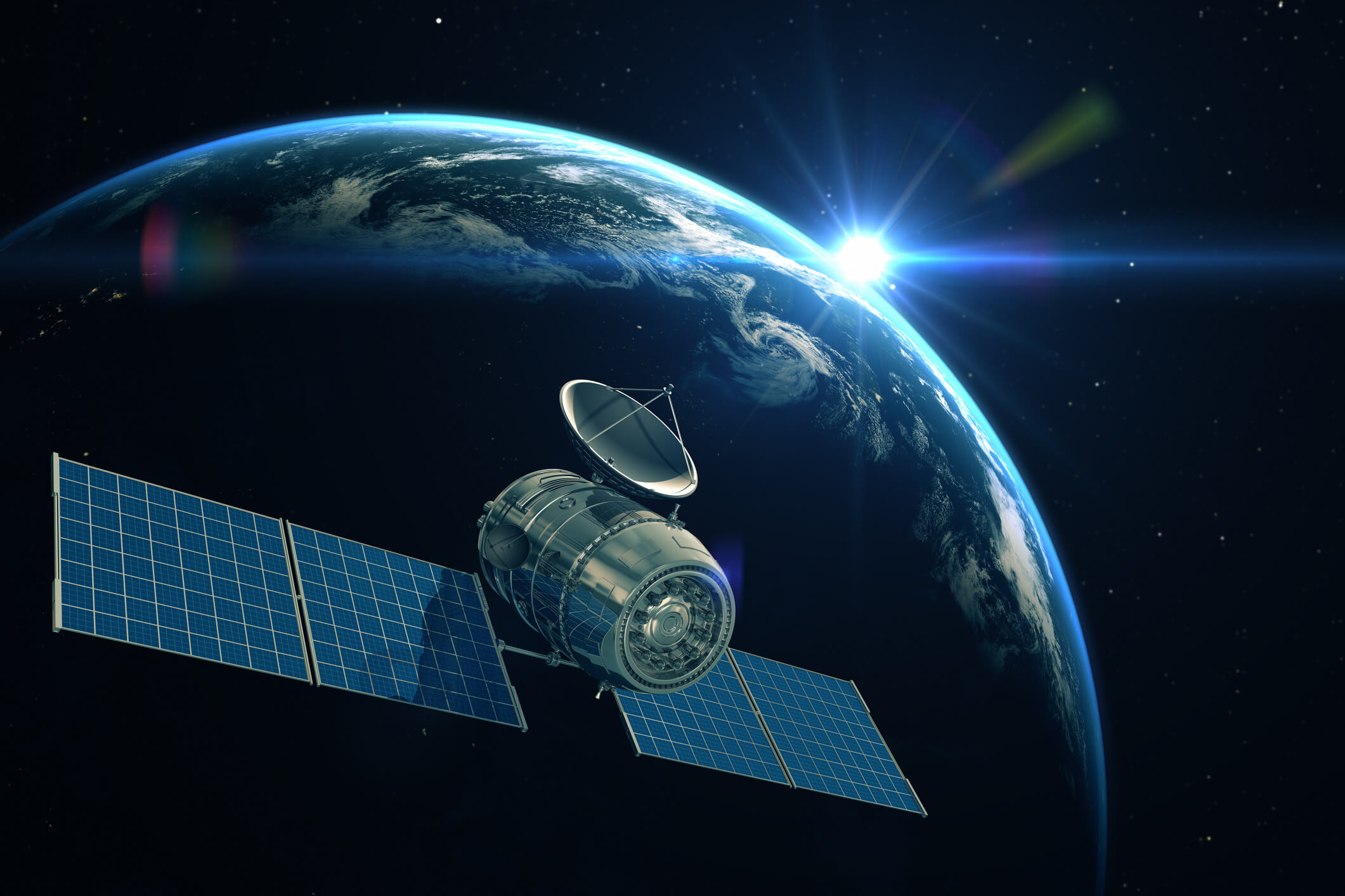
Satellite Geodesy
Overall Course Objectives
Accurate mapping and monitoring of changes, e.g., inland topography, sea level and ice sheets, highly rely on the global geodetic observing system (GGOS), compromising various space geodetic techniques such as GNSS and Earth Observation.
The course aims to provide a thorough overview of space-based geodetic technologies, including instrumentation, observation techniques, models, methods and monitoring systems to define and maintain the geodetic reference frames to measure precise positions and map the shape and gravity field of the Earth.
Learning Objectives
- Describe geodetic coordinate and time systems, Kepler elements to describe satellite motion, and main types of satellite orbits: GEO, MEO, and LEO,
- Compute positions of satellites and transformations used in satellite geodesy,
- Describe the main orbit perturbations due to gravimetric and non-gravimetric forces and characteristics of repeat and sun-synchronous orbits,
- Compute J2 pertubations,
- Explain the realization of a geodetic reference frame based on space geodetic techniques (VLBI, SLR, GNSS),
- Analyse GNSS positions for monitoring continental drift and crustal deformations,
- Implement and apply conventional models for atmospheric effects on GNSS signals,
- Assess range precision and accuracy estimates for satellite altimetry,
- Analyse satellite altimeter data for mapping sea level and ocean currents, land topography, and cryosphere,
- Explain the principles and mission characteristics of satellite gravimetry, and to
- Create a model of mass changes from satellite gravity data.
Course Content
The course will focus on the space geodetic observations utilized for positioning and defining the basic reference frames for mapping and navigation, how to compute positions and how to obtain information about continental drift and crustal deformations.
The course will also focus on satellite altimetry and its use for mapping the topography of the Earth and monitoring changes in sea level, glaciers and ice sheets, and in-land water bodies. Finally, the course will focus on satellite gravimetry missions and on how these satellite missions are used for measuring the Earth’s gravity field. Some examples of how satellite gravimetry may be used for monitoring mass movements will be explained.
Exercises are carried out using Matlab.
Recommended prerequisites
Teaching Method
Lectures and exercises
Faculty
Remarks
The course is recommended for the first semester of the master program Earth and Space Physics and Engineering and is mandatory for the program’s study line ‘Mapping and Navigation’.
The course is a prerequisite for 30554 Global navigation satellite systems.
The course does not deal with hardware. The course does not include data collection or fieldwork.


