Remote Sensing
Overall Course Objectives
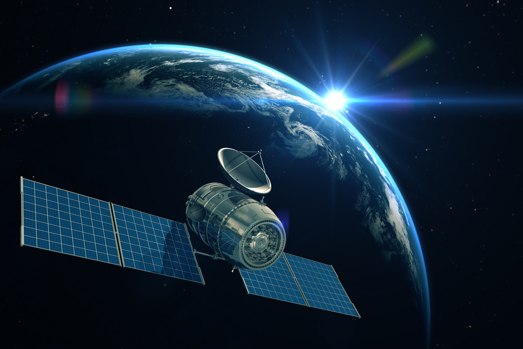
Radar and radiometer systems are used from satellites and aircrafts to measure and monitor the surface of the Earth, including the land surfaces, the oceans and the atmosphere. This is called remote sensing or Earth observation and is of utmost importance for monitoring the Earth’s environment and climate.
The general course objectives are to provide the students with an understanding of those radar and radiometer techniques and systems that are used for remote sensing, with a special emphasis on the technical description of the sensors and on the application of these techniques for measuring and monitoring of properties of the surface of the Earth. This also includes knowledge about the necessary data processing techniques.
Learning Objectives
- analyse the interaction of electromagnetic waves with surface and volume scatterers
- analyse the synthetic aperture radar (SAR) technique and discuss its applications
- analyse the polarimetric SAR technique and discuss its applications
- analyse the interferometric SAR technique and discuss its applications
- describe the polarimetric SAR interferometry technique
- analyse the radar altimeter and wind scatterometer techniques and discuss their ocean applications
- analyse and compare microwave radiometer techniques
- discuss applications of microwave radiometers including the estimation of ocean salinity and soil moisture, and the monitoring of sea ice
- implement a data processing method and interpret the results
- plan and perform project work
- write a technical report.
Course Content
The course includes a survey with application examples of sensors like side-looking radar, radar altimeter, wind scatterometer, and radiometer. Applications are primarily within oceanography, including sea pollution, glaciology, including sea ice, mapping, farming, and forestry. The course includes a description of the techniques for each of the above-mentioned sensors, the relevant applications with examples, and discussions about the necessary data processing and interpretation methods.
The course is directly related to the remote sensing research developed at DTU Space through more than 30 years.
Recommended prerequisites
Electromagnetic Waves, Polarisation. Knowledge of programming, e.g. MATLAB
Teaching Method
Lectures, group work, and project work.
Faculty
Remarks
The course is closely related to 30340 Radar and Radiometer Systems.
Limited number of seats
Maximum: 40.
Please be aware that this course has a limited number of seats available. If there are too many applicants, a pool will be created for the remainder of the qualified applicants, and they will be selected at random. You will be informed 8 days before the start of the course, whether you have been allocated a spot.


