Physical Geodesy
Overall Course Objectives
The Earth’s gravity field varies from location to location depending on the composition of the materials in the subsurface. These variations impact the shape of the Earth and cause the water in the oceans not to coincide with a simple surface. The Geoid is an equipotential surface for gravity describing the zero-level surface. On land, the Geoid is needed to compute heights from satellite positioning.
The course aims to provide the students with knowledge about the mathematical models and methodology used for describing the Earth’s shape and gravity field.
See course description in Danish
Learning Objectives
- Interpret and describe the interrelation of gravity and Earth shape
- Design and carry out a gravity survey, set up and carry out a network adjustment
- List and prioritize the physical processes that contribute to temporal variations in the gravity field of the Earth
- List the defining parameters of the level ellipsoid and identify the difference between gravity disturbances and gravity anomalies
- Apply free-air reductions and terrain reductions and describe the Pratt-Hayford and Airy-Heiskanen isostatic reductions
- Evaluate the geopotential and derived quantities from models based on spherical harmonic functions and relate spherical harmonics and mesh grids to spatial resolution
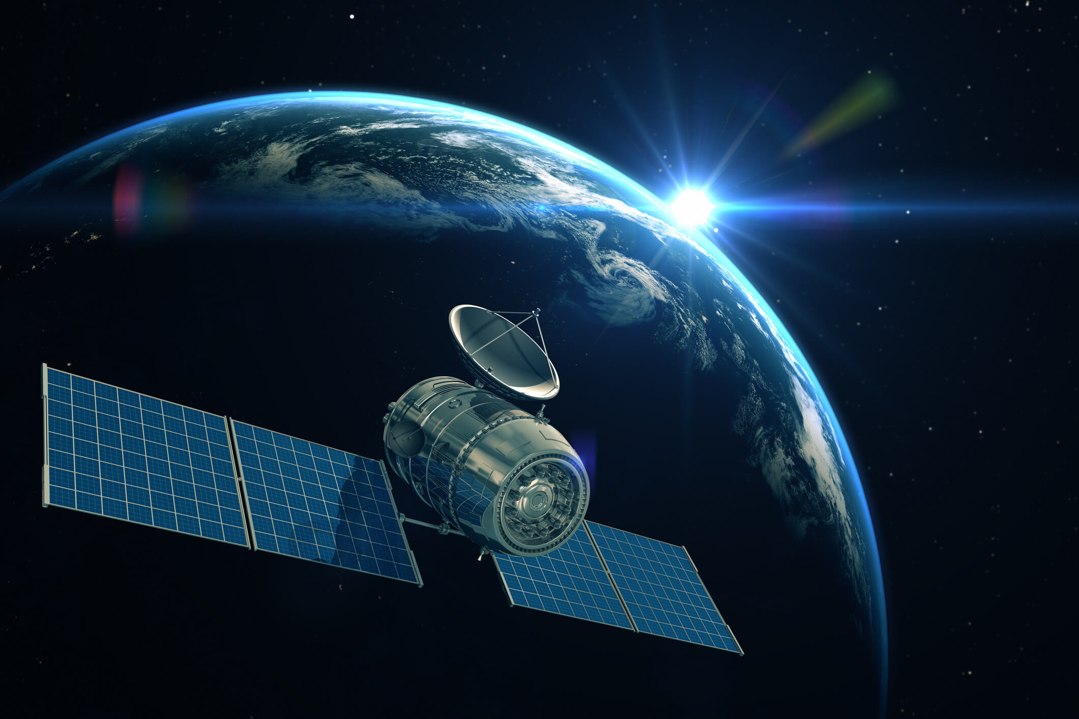
- Explain the contribution of satellite methods to knowledge of the Earth’s gravity field and the knowledge of the shape of the Earth
- Discriminate between different types of height systems, identify their associated reference surfaces and transform between these
- Explain the concepts of geoid and quasi-geoid and the main techniques to model them
- Describe the relation between spirit levelling and the gravimetric geoid/quasi-geoid
- Model a quasi-geoid by using the spherical FFT and collocation, describe difference of the two methods and evaluate the results.
Course Content
The content of the course includes Earth’s gravity field, measurement of gravity on land and from aircraft and satellites, computation of the geoid, and satellites and their behaviour in the gravity field, supplemented by elements from statistics and estimation.
Teaching Method
Lectures, computer exercises and measurements.
Faculty
Questions about the course content?
Contact Gabriel Strykowski

Practical questions (e.g. sign-up)?
Contact DTU Learn for Life
Related educations
-
 Enkeltfag
Engelsk
5 ECTS
Enkeltfag
Engelsk
5 ECTS
Ph.D. Course – Entrepreneurship in Technical Science
- Duration
- 17 - 22 August 2026
- Price
- 12.350,00 DKK
-
 Enkeltfag
Engelsk
5 ECTS
Enkeltfag
Engelsk
5 ECTS
Introduktion til trådløse teknologier
- Duration
- 13 uger
- Price
- 9.250,00 DKK
-
 Enkeltfag
Engelsk
5 ECTS
Enkeltfag
Engelsk
5 ECTS
Beslutningsstøtte og strategisk vurdering
- Duration
- 13 uger
- Price
- 9.250,00 DKK
-
 Enkeltfag
Dansk
5 ECTS
Enkeltfag
Dansk
5 ECTS
Materialelære, materialefysik
- Duration
- 13 uger
- Price
- 9.250,00 DKK